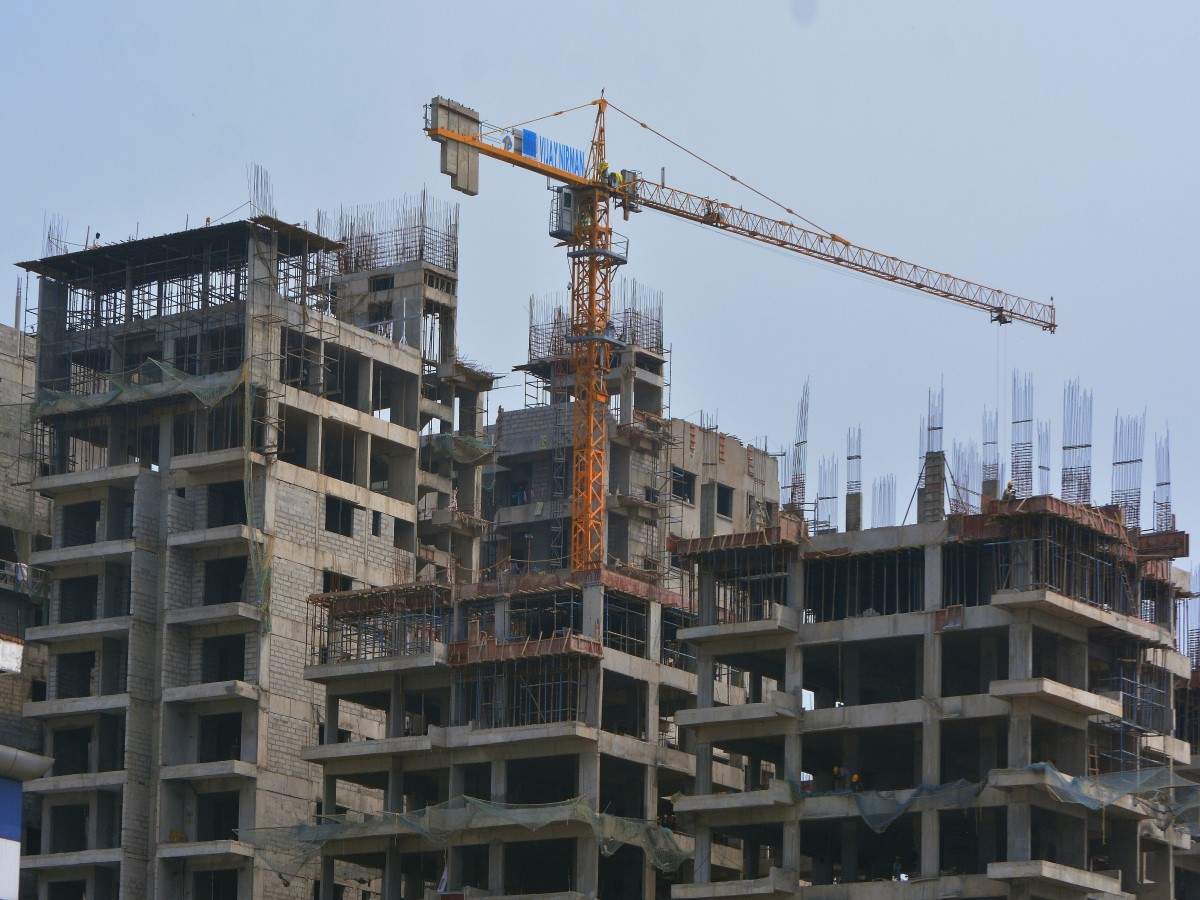
In order to accurately map land areas across the district, the Gurugram Metropolitan Development Authority (GMDA) has launched a survey using Geographic Information System (GIS) technology. The method of land demarcation will be modernised. The decision was made after officers of GMDA were informed of illegal land invasions, which they were not aware of. Marking […]
GMDA initiates Geographical Information System to prevent land scams.more


